 Privacy & Trust
Does location sharing work without WiFi? What actually needs a signal
Your phone can work out where it is without WiFi and without cellular, because GPS is a one way radio signal from satellites. Sharing that position with someone else does need a data path, either mobile data or WiFi, so with no signal your dot goes stale until the phone reconnects. When it does reconnect, most family apps update to the current position within seconds.
This question comes up in one of two moods. The calm version is someone planning a hike and wondering whether the app is worth setting up at all. The tense version is someone staring at a map at 9pm, watching a dot that has not moved for forty minutes, trying to work out whether that means something is wrong.
The answer is the same in both moods, and it is genuinely reassuring once you hold the two halves apart. Working out where you are and telling somebody where you are involve completely different technology. The first one is free, passive and works in the middle of nowhere. The second one needs a way to send data, and that is where the gaps come from.
Here is the honest version of how it works, what to expect in the places signal actually fails, and how to read a stale dot without spiralling.
The one distinction that explains everything
Positioning is receiving. Sharing is sending. Your phone figures out its location mostly by listening to satellites, which broadcast constantly and ask nothing in return. Nothing about that requires WiFi, a SIM card or a data plan. It is the same reason a dedicated hiking GPS with no phone connection still knows where you are on a mountain.
Sending is the other half. For a family app, a messaging app or your phone's built in sharing to put your dot on someone else's screen, the position has to travel over the internet. That needs mobile data or WiFi. No data path, no update.
Your phone can always know where it is. It cannot always tell anyone.
Once you have that clear, most confusing map behaviour becomes predictable rather than alarming. A frozen dot in a valley is not a broken app or a switched off phone. It is a phone that knows exactly where it is and has nowhere to post the letter.
What each ingredient actually does
Modern phones do not rely on satellites alone. They blend several sources, which is why accuracy is usually good in cities and slower to settle in empty landscapes.
- Satellites (GPS and friends): the backbone. Works worldwide, outdoors, with no signal and no data. Needs a reasonably clear view of the sky, which is why it struggles indoors, in deep canyons and under dense tree cover.
- WiFi scanning: your phone notices nearby network names and compares them to a database of known network locations. This is how it can place you inside a shopping centre in seconds. Notably, it does not need to join those networks, but the lookup itself usually needs a data connection unless the data is cached.
- Cell towers: a rough fix from which masts are in range. Coarse on its own, often accurate to a neighbourhood rather than a street, but fast and available indoors.
- Sensors: the accelerometer, compass and barometer help the phone smooth movement between fixes and guess which floor you are on.
Be Closer, like other family location apps, reports positions with up to 95 percent accuracy, and that upper end assumes the good conditions above: open sky or a well mapped urban area. In a stone basement, no app can beat physics. If you want the longer version of why the number on screen sometimes disagrees with reality, this guide on GPS accuracy goes into it properly.
So what happens when you lose signal
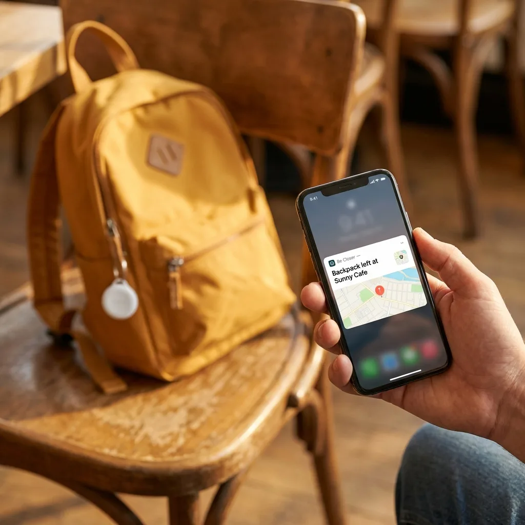
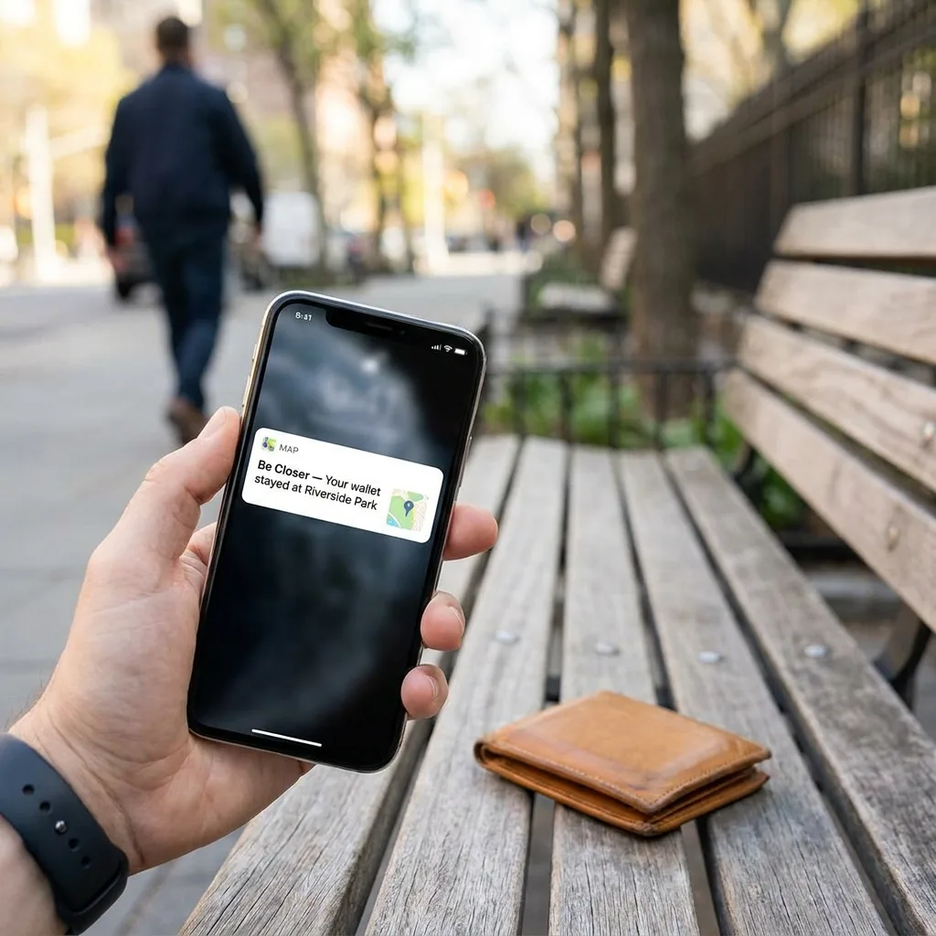
The phone keeps tracking itself. Depending on the app and the phone's power settings, recent positions may be stored locally. What stops is delivery. On the other person's screen, your dot stays at the last place it successfully reported, usually with a timestamp such as "updated 34 minutes ago".
Read the timestamp, not the dot. This is the single most useful habit for anyone who worries. A dot without a time is meaningless. A dot with "2 minutes ago" means everything is fine. A dot with "1 hour ago" in a place you know has no coverage means the map is behaving exactly as expected.
Catching up when the signal returns
When the phone reconnects, sharing resumes on its own. In most apps the dot jumps to the current position within seconds, and some will fill in part of the route travelled while offline. Do not expect a perfect breadcrumb trail of every step through a dead zone. Expect the truth to arrive quickly once there is a signal, which is what actually matters.
Situations where gaps are normal, not worrying
- Hiking or camping in national parks, valleys and forests, where coverage is patchy by design.
- Underground transport, where the dot typically reappears at the exit rather than tracing the tunnel.
- Basements, car parks and lifts, which block satellites and often mobile data too.
- Aeroplanes, where the radios are off. There is more on that in the airplane mode question below.
- Rural roads and mountain passes, especially abroad on a network with thin partner coverage.
- A phone in low power mode, which can reduce how often location is refreshed to save battery.
Be Closer shows your whole family on one private map, free to start.
Consent-first, never sold, and gentle on your battery. iOS and Android.
Does sharing use much mobile data?
No, and this is the fear that stops many families using it abroad. A location update is a tiny packet: coordinates, an accuracy figure, a timestamp, some identifiers. It is text, not video. Even continuous sharing across a busy day is a rounding error next to a few minutes of streaming.
The bigger cost is battery, not data, and even that is mostly about how often the position is refreshed rather than the sharing itself. If you want to reduce drain on a long day out, the practical steps are in why location sharing drains battery.
Two caveats worth knowing. Opening the map to look at everyone repeatedly does pull down map tiles, which is heavier than the position updates. And roaming charges depend entirely on your plan, so check that before a trip rather than after.
Practical setups for the places signal fails
Hikes and remote days out
- 1Agree a plan on paper first: route, turnaround time, and the time you will be back in coverage. The plan is the safety net. The app is the convenience.
- 2Download an offline map of the area before you leave, so the phone can still show you where you are even with no data.
- 3Set the expectation out loud: "you will not see me move between eleven and two, that is the valley section".
- 4Carry a power bank. A phone that dies has the same effect on the map as no signal, but takes much longer to recover.
- 5Send a deliberate check in message the moment bars return, rather than assuming the dot did the talking.
Commutes and cities
- Expect the subway shape: last seen at the station entrance, then reappearing at the destination. That is normal and not a fault.
- Leave WiFi switched on even when not connected to a network, since on most phones this improves indoor positioning.
- For tall buildings, treat the dot as "in this block" rather than "on this exact corner". Reflected satellite signals in city centres wander a little.
Travel and abroad
- Confirm data roaming is on for the phone and that the app is allowed to use it in the background.
- Airport WiFi is a useful anchor point for a check in when landing before a local SIM is sorted out.
- Time zone confusion makes timestamps look stranger than they are. Check what the app is displaying before drawing conclusions. There is more detail in does location sharing work abroad.
How to read a stale dot without panicking
Worry is reasonable. Acting on the wrong reading is what causes the 11pm phone call to a friend's parents that everybody regrets. A simple order of checks keeps it proportionate.
- 1Check the timestamp. How old is the last update, really?
- 2Check the place. Does the last known location have known coverage problems, such as a cinema, a gym basement or a rural road?
- 3Check the battery, if your app shows it. A low battery an hour ago suggests a flat phone rather than anything else.
- 4Send a message. It costs nothing and it will deliver the moment the phone reconnects.
- 5Then, if it is genuinely out of pattern, call. Not before, and not with an accusation ready.
One sentence rule: a stale dot is a signal problem until proven otherwise.
The families who get the most out of location sharing are the ones who agreed in advance what gaps mean. Ten minutes of conversation before the first hike saves the same conversation happening as an argument later. If your household has not had that talk, one sentence privacy rules for families is a good starting point.
Frequently asked questions

Daniel covers privacy, consent and the technology under the hood. A dad who reads the settings screens so you don't have to, he believes the best family tech is the kind you can explain to your kid in one sentence, and that nothing should ever be tracked in secret.
Our guides are written by Be Closer's editorial voices and reviewed by the team behind the app. Questions? support@becloser.com
Published · Updated